Regional Geological Mapping of Banded Iron Formation (BIF) in Zimbabwe, Southern Africa
Regional Geological Mapping of Banded Iron Formation (BIF) in Zimbabwe was conducted for one major Indian Iron and Steel Company. The study included Geological mapping in regional to detail scale, identification of regional and prospect scale deformation, identification and demarcation of potential high grade mineralized zones/bands, establishment of structural control on mineralization, correlation of geology with high resolution multispectral ASTER imagery and interpreted magnetic anomalies.
The study area was part of the structurally deformed Precambrian Granite-Greenstone Belt, known for gold and Banded Iron Formation.
The following tasks were carried out as per the project scope and delivered within estimated timeline:
- Detailed Desktop analysis which involves collection and analysis of public domain data and literature, airborne magnetic anomalies and remote sensing to identify high-grade target areas
- Detailed Traverse planning based on ASTER images and airborne magnetic anomalies
- Regional and prospect scale mapping to understand geology, mineralization styles and control
- Demarcation of high-grade mineralized zones and associated surface grab sampling within prospect area
- Correlation of geological mapping data with Airborne and ground magnetic survey data.
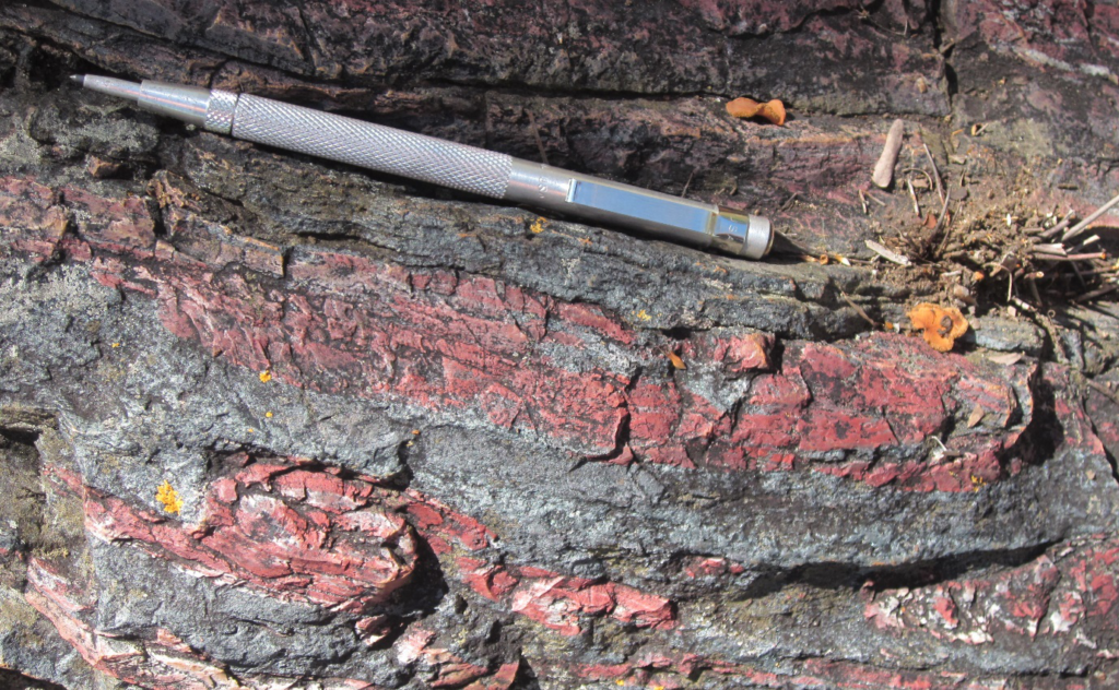
A team of Exploration Geologists visited the prospect area (400 km2) to study the geology, mineralization, identification and demarcation of high-grade zones and other socio-economic conditions. Multiple samples collected and analysed in Internationally accredited laboratory.
A detailed Geological Mapping report with recommendation and future exploration strategy was communicated to the client. The project was delivered within a timeline of 4 months.