Geological Mapping of Coal in Mozambique
Regional Geological Mapping of Coal in Tete Province of Mozambique was conducted for State owned India Coal Mining Company. The western and southern blocks of the concession area were reported to have considerable amount of mineable coal as per the Geological reports published by Government of Mozambique. Exploration works carried out by some private mining companies also proved the presence of coal in the Western and Southern block surrounding the concession area of 224 sq. Km.
The regional geological Formation of the area is sub-divided into Karoo supergroup and East Africa rift sequence. Lower Karoo is having Vuzi, Moatize and Matinde Formations. Basement metamorphic contains foliated gneisses, quartzite, granites, quartz veins and some igneous intrusive. Coal bearing Moatize Formation contains cross bedded sandstones, siltstone, carbonaceous shale and significant coal seams.
The following services were provided to establish the prospectively of the concession area:
- Remote Sensing study: ASTER, LandSat and Quickbird image acquisition, processing and interpretation, predicted mineralization trend identified
- Geological mapping, sampling and on ground validation of the remote sensing anomalies
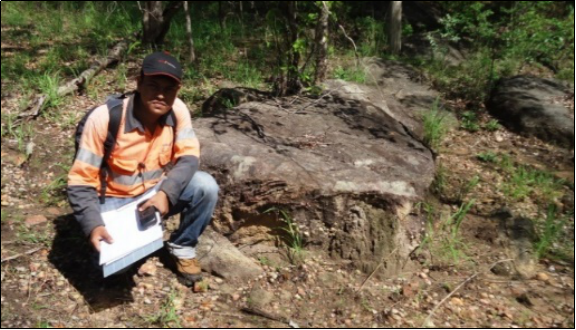
A team of Exploration Geologists visited the prospect area to study the geology, mineralization, identification and demarcation of coal bearing formation and assess resource potentiality. Multiple samples collected and analyzed in Internationally accredited laboratory.
A detailed Geological Mapping report with recommendation and future exploration strategy were communicated to the client. The project was delivered within a timeline of 2 months.